3D Mapping is the science of making measurements from photographs. The output is typically a map, a drawing or a 3D model of some real-world object or land mass.Photogrammetry feeds measurements from remote sensing.
The results of imagery analysis into computational models in an attempt to successively estimate, with increasing accuracy, the actual, 3D relative motions within the researched field. Its applications include satellite tracking of the relative positioning alterations in all Earth environments.
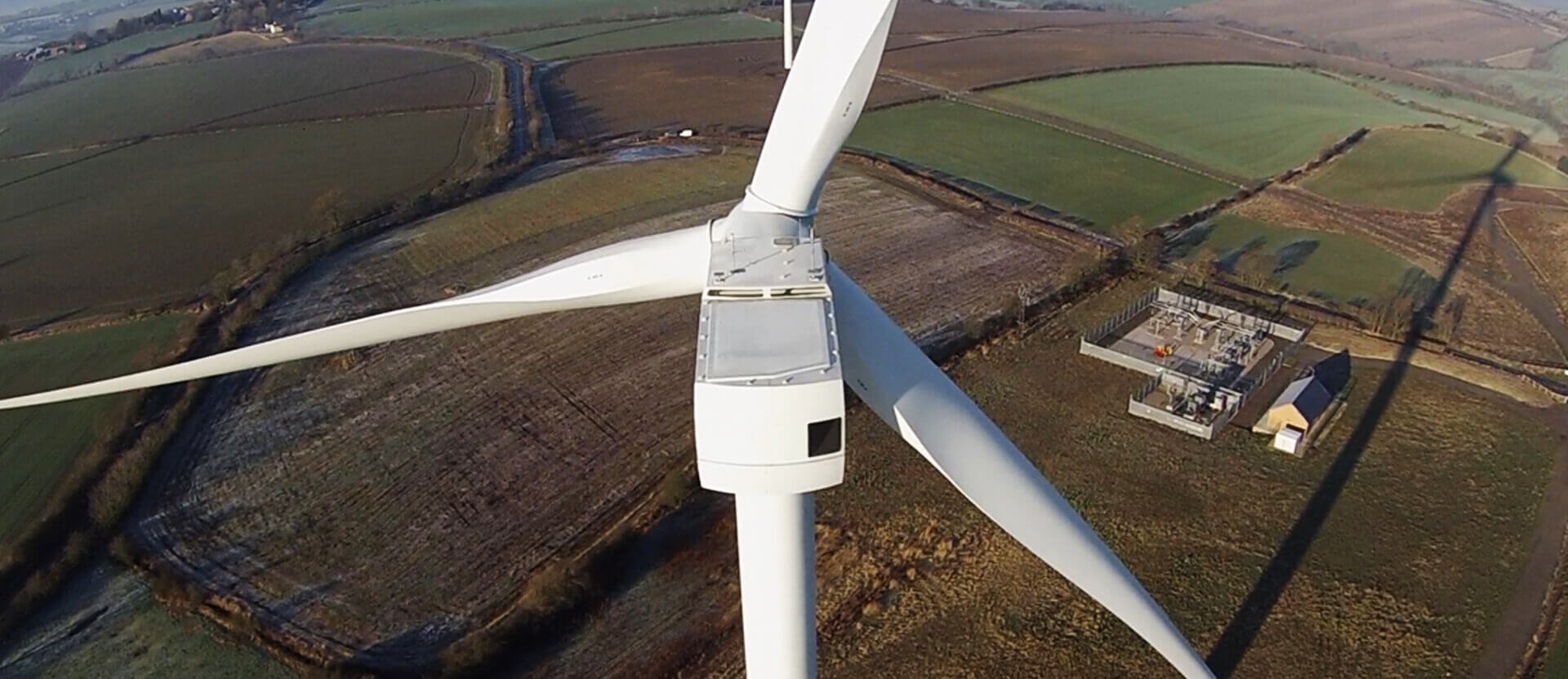
Using aerial drones you can now get high-resolution, high-quality photos and video of any structure in an economical manner. Also, because they are unmanned our drones are able to get into areas that would otherwise be too dangerous for live inspection, e.g. close-up on live flame stacks.
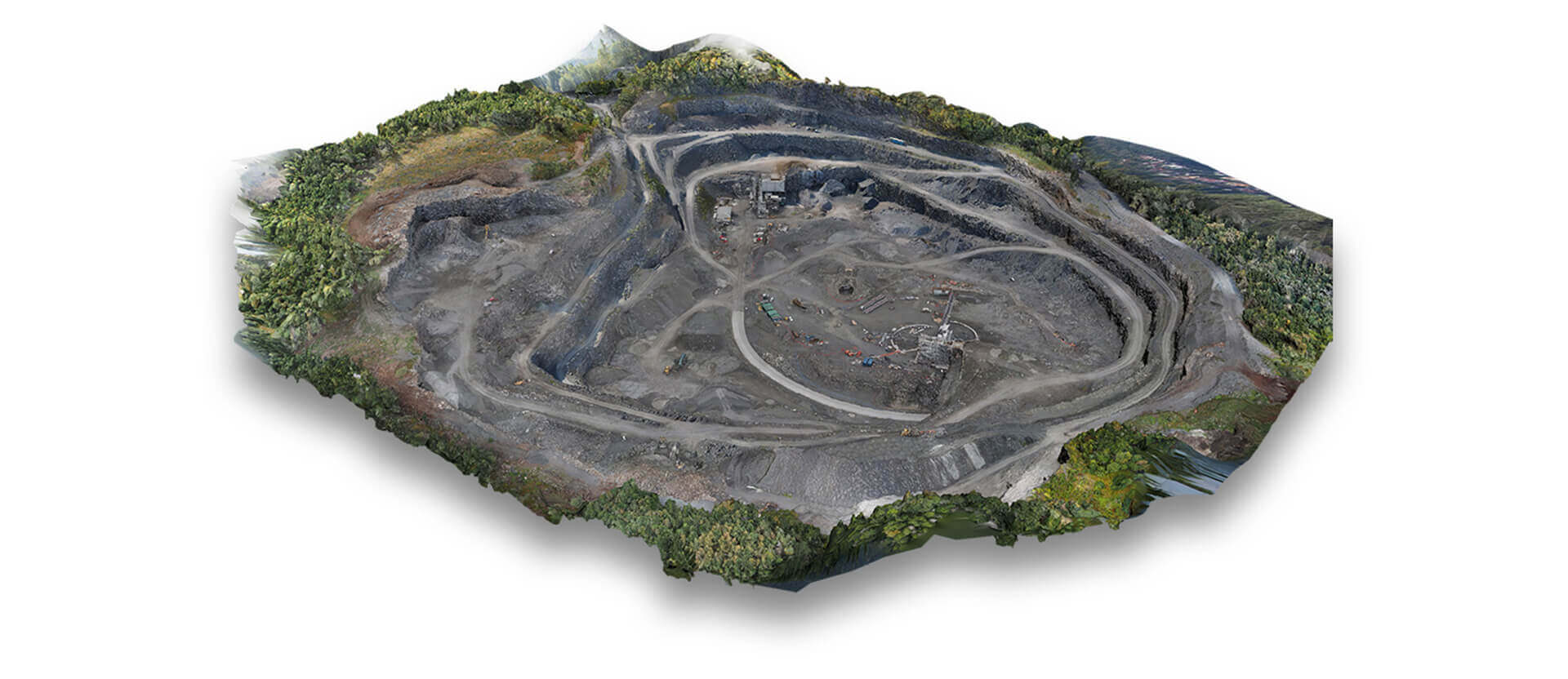
Likewise, because of their small scale and quiet operation our drones can operate close to working sites without disruption. The small size and stability of aerial drones makes it possible to conduct internal aerial inspections of sites such as large factories and warehouses, or within other confined locations such as tunnels, mines, or under power lines.
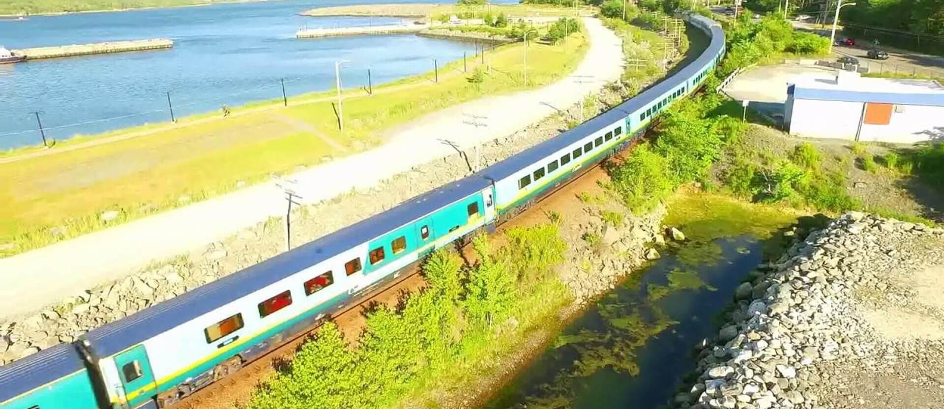
Aerial photographyis the taking of photographs or video of the ground from an elevated/direct-down position. Usually we use aerial photography in cartography,land-use planning, archaeology, movie production, environmental studies,
Power line,surveillance, commercial advertising, conveyancing, and artistic projects. Because of simple workflow and easy repeatable data capture,maps and models can be updated as often as required.
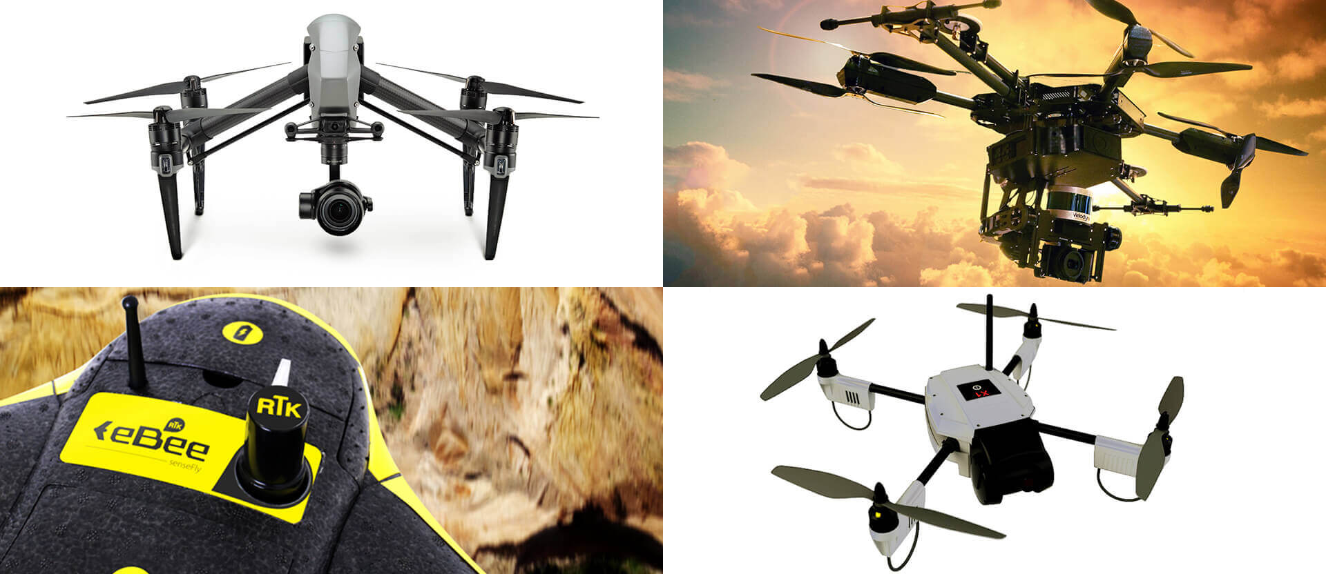
We are using state of art drones controlled by satellite and software which is a worldwide market leader in the unmanned aerial platform based survey solution industry and known for its advanced technology based innovative services
and applications in fields of Urban governance, Utilities, Telecom, Surveying, mining, land Revenue, Forest Disaster Management, Infrastructure, Agriculture Etc.We use Varied Drones for Drones Used for Varied purposes. We facilitate in providing latest technology Drones, Quad copters, Hex copters and Octocopters for Pro Aerial UAV Photography and filming. Ideally Use of RTK unit Drones India – Ebeefly for getting accurate GPS tags. We provide one stop solution of what you need.
We utilize state of the art digital imaging technology to create highly detailed full screen 360° interactive panoramas. These are true spherical images: Imagine being at the center of a sphere with the image covering the entire inner surface.
The images can be scrolled around a full 360° and 180° from straight up to straight down. You control where you look. Zoom in for closer inspection, or zoom out for an even wider view. Efficient for proper planning and direct project execution in all type of business fields.